Browse products
search
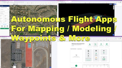
Tools For Planning Your Autonomous Flights
Learn to utilize DJI's Ground Station Pro for consistent, repeatable commercial drone flights. Waypoint routes & Modeling routes for 2D & 3D modeling.
An introductory course for students interested in Autonomous Drone Flight with Maps Made Easy's Map Pilot App
Using Wordpress And Elementor To Create Custom Drone Deliverables For Your Clients
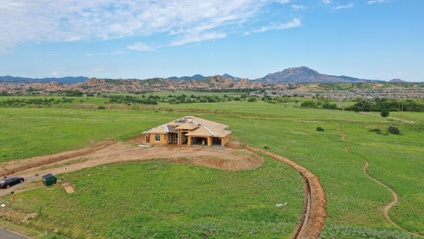
Follow along with a Drone Construction Progression Project from July 2019 through May of 2020.
Building 2D & 3D Models With Drone Images And Metashape. Drone Flight Setups And Basic Modeling With Metashape
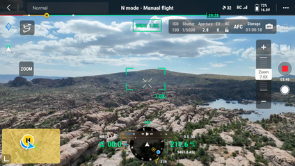
Getting Started With DJI's Mavic 3 Enterprise - A Basic Introduction
Learning to use Litchi Waypoint Mode for professional Drone Construction Progression Reporting